Can our tracks and trails be improved for locals and visitors?
 Council is currently preparing a Tracks and Trails Strategy for the Gympie region. The Tracks and Trails Strategy will assist the public with access to tracks and trails of the region for outdoor recreation.
The plan is being developed to provide additional recreation, tourism and economic benefits. The region’s recreation trails include those within natural public areas that provide for horse riding, mountain bike riding and walking only.
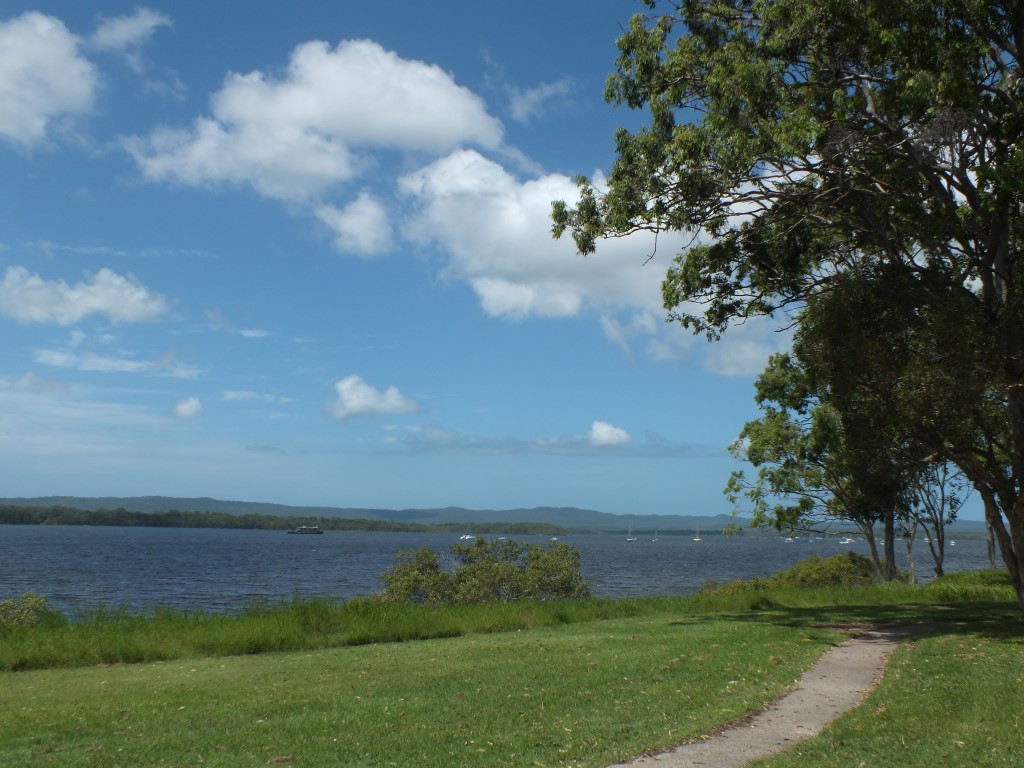
The Gympie region provides regionally significant trails including (part of) the Cooloola Great Walk and Bicentennial National Trail, as well as more localised networks such as the Victory Heights Trail Network.
The opportunity exists to enhance this to provide additional recreation, tourism and economic benefits.
Council wants your input into how and where you believe the tracks and trails network
could be improved for locals and visitors within the Gympie Region.
Factors to consider:
Only four major trails are listed on the website, are more trails – even the smaller ones going to be added to our strategy?
What promotion will help people to be more active?
Consideration of facilities including toilets, access to water, rubbish facilities, etc.
What signage is required? e.g. at the Coloured Sands
Will connectivity be increased?
Does the Cooloola Coast need more trails e.g. track to Seary’s creek – or a circuit out from Searys, or at Poverty Point, Bullock Point with signage about local history, flora, fauna and more?
Have your say:
Face-to-Face Meeting: May 4 at the Alford Markets from 8:00am, 215 Brisbane Rd
Online – www.gympie.qld.gov.au (https://www.surveymonkey.com/s/QR9JZTG)
In person – Council’s customer service centres and libraries