Major trail projects are “not considered necessary” for Rainbow Beach

The plan is to create trails highlighting scenic points of interest, however there is no mention of a boardwalk along the Rainbow Beach foreshore – the current path is beside the road
Council are to be congratulated for drafting a long awaited track and trail plan. However, although the report acknowledges that the linked trail network could provide quality (coastal) tourism opportunities, it does not mention the staircase from Phil Rogers Park that is the missing link in the circuit along the beach. We were advised by Council that the geological survey alone was factored in for mid year, but it may be years before we see the stairs return.
Signage and promotion are crucial to increase use of trails, however with remediation due for completion in 2017, it is vital to register the community’s expressed need for a board walk from town to the Shores, and connecting Rainbow Shores to school via a safe cycle way. In addition were plans for the Rainbow Beach foreshore considered, as these deserve prioritisation. All work on the coast will bring tourism dollars to the region.
Unfortunately, with only a two week consultation period for the draft plan, locals only have until October 5 to respond.
Gympie Regional Council’s Draft Tracks and Trails Plan was adopted by Council and the community members are now invited to have their say. Significant consultation has already been undertaken by way of direct stakeholder engagement, hardcopy and online surveys, and by a public engagement event earlier in the year to assist in the preparation of the draft plan.
Council recognises the significant opportunities offered to the region by investing in a high quality tracks and trails network and are committed to maximising the health, well-being and liveability benefits for our local residents, and are looking to attract visitors seeking nature based tourism experiences.
For the Cooloola Coast, projects have been prioritised to be progressively implemented over the next ten years in this order (summarised from the report):
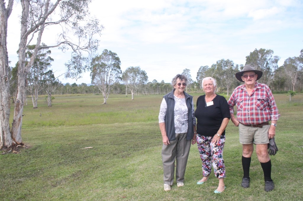
CCRFI members Jackie Moore, Helen Crooks and Paddy Moore will be pleased to read that a walking trail network with increased interpretative signage is reported in the plan
1. Toolara State Forest Provide a variety of formal multiuse trails (bikeriders and horseriders) within, including trails heads, signage and trail infrastructure. The trailhead needs to include float parking and other horse facilities, as well as trailhead panels incorporating map panels and bike parking. One trailhead for both user groups would be preferred (to minimise costs); however, this depends on the location of trails to be developed.?
2. Tin Can Bay Extend and widen the existing Foreshore Walk path/trail to Norman Point. This creates a longer shared use (built to a 2.5m width). Provide a connection along Trevally Street to the Tin Can Bay Tourist Park. Create a formal trailhead (perhaps with a interpretive shelter) at the southern end of Wildflower Walk (near the Buffalo Club). Link the two trails together, creating a circuit trail.
3. Rainbow Beach Given the present supply of walk trails in Rainbow Beach, no major projects are proposed. The trail project consists of promoting existing trails and a local trail project to be developed as part of future town development.
Note: during the consultation process, other trails were suggested for Rainbow Beach, including formal walk trails between Rainbow Beach and Inskip Point, and along connecting roads. Given the existing provision and likely demand, these are not considered necessary.
Improve signage within business area to promote access, existing trails should include upgraded interpretation (through a number of means – fixed signage, smart phone apps, QR codes). This would encourage more people to use the trails and provide for user education.
Develop a short boardwalk trail on the western edge of town known as the “Wetland Walk” council commissioned some artists impressions and some landscape architects impressions. While this seems a reasonable approach, Rainbow Beach already has a good supply of trails (albeit not directly in town like this one would be). It is a local trail that may keep people a little longer in town if it offered a unique experience (for example, it was heavily interpreted). It is a trail proposal that should be done as land develops in Rainbow Beach as the eastern end of the proposal is part of land designated as Future Urban.
4. Cooloola Cove Given the likely demand and its nature in (i.e. mostly residents), no major projects are proposed. The trail project consists of developing a local trail building on using creek side fire trails that local residents use for walking. There is a desire for these to be formalised as a walking trail network, trail planning should also consider trail surfacing and the potential for interpretation.

The report acknowledges that many trails are only known via word-of-mouth and more promotion is needed
The Draft Tracks and Trails Plan has a focus on bushwalking, mountain biking and horse riding. The aims of the plan are to: increase the supply of formal trails across the region; increase the provision of information for a comprehensive trail network; enable locals and visitors alike to readily access natural recreation opportunities; and promote existing tracks and trails in the region, whilst delivering new tracks and trails as opportunities arise.
There are few formal tracks within the Region. Most lack signage and trailheads, facilities, wayfinding and information provision. It is very difficult to find trail information within the Gympie Region, many are only known by locals, through word-of-mouth.
The plan is to develop:
- one website source for all relevant online trail information and access to the online brochures. Other tourism websites (including private operators) linking to the website.
- trails networks to be based around and to include points of interest (e.g. to summits, scenic views or water) and provide a unique experience for visitors, that allow for eco/nature based tourism (for example wildlife tourism and birdwatching).
- trails that are located within areas of interest to include interpretative signage and theming, to promote the local values (e.g. flora and fauna or cultural values)
- promotion via social media and other online, events (races or endurance events)
The Draft Tracks and Trails Plan will be available for public comment until October 5, 2014. Copies of the draft plan will be available either online at https://www.gympie.qld.gov.au/documents/40005057/40005560/Draft-Tracks-and-Trails-Plan.pdf; in hardcopy at 242 Mary Street, 29 Channon Street; or by contacting Council on 1300 307 800.
Council welcomes your feedback in writing (Attention: Planning Strategy & Major Projects Branch , PO Box 155, Gympie QLD 4570 ) or via email: planningprojects@gympie.qld.gov.au